
Overview
About Thorsmork
Rivers and shelter
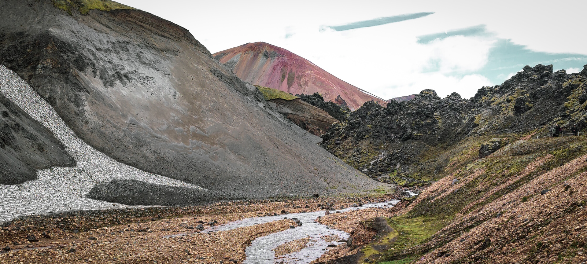
The area lies west of Mýrdalsjökull, with Krossá to the south and Markarfljót and Þröngá to the north. Its sheltered climate historically allowed farmers from surrounding districts to graze sheep there through the year. River levels can change rapidly, making the surrounding waterways important boundaries as well as powerful influences on access and the landscape.
A century of woodland recovery
By the nineteenth century, Þórsmörk's birch woods were severely depleted. A protection agreement ratified on 9 May 1920 transferred responsibility for excluding grazing to the Forest Service after local rights holders relinquished grazing rights. Fencing began in 1924. Further grazing control and restoration allowed woodland to spread, making Þórsmörk an important example of native forest recovery in Iceland.
Article reviewed .