
Overview
About Hekla
An unusual volcanic ridge
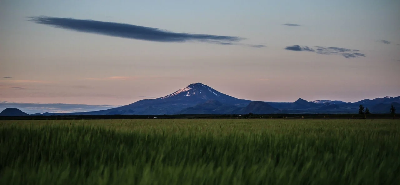
Hekla stands near the southern end of Iceland's eastern rift zone, at a junction with a transform zone. The approximately 5.5-kilometre Heklugjá fissure crosses its summit. Repeated eruptions along this fissure have helped build the mountain's elongated form. Its common basaltic-andesite products distinguish it from many Icelandic volcanic systems dominated by tholeiitic basalt.
Ash as a historical record
Hekla can produce both explosive ash clouds and flowing lava. Its widespread ash layers provide recognisable markers within Icelandic soils and sediments. Studies of such layers helped Sigurður Þórarinsson develop tephrochronology, a method that uses volcanic deposits to establish the relative ages of landscapes, archaeological remains and environmental changes.
History and folklore
The destructive eruption of 1104 occupies an important place in Hekla's recorded history. Medieval traditions represented the mountain as an entrance to Hell; this was a religious and folkloric interpretation of volcanism. Eggert Ólafsson and Bjarni Pálsson made its first recorded ascent in 1750.
Article reviewed .