Overview
About Vatnajokull
Ice over active geology
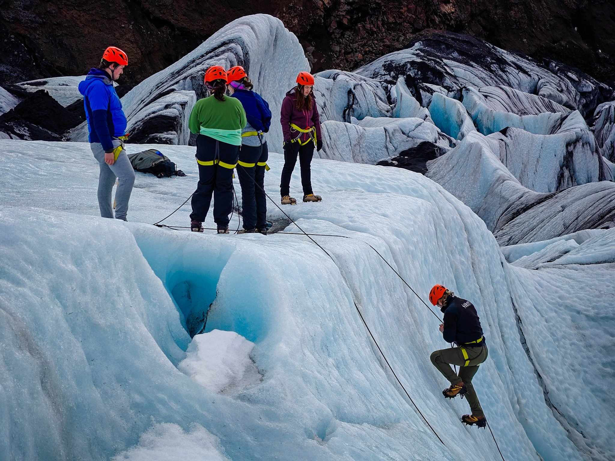
The ice cap overlies part of Iceland's active volcanic landscape. Geothermal heat and eruptions beneath the ice can produce large quantities of meltwater. Sudden releases, called jökulhlaups, have carved channels and helped build the broad sediment plains known as sandar. Glacial erosion, volcanic construction and flowing water therefore shape this region together.
A changing ice cap
The national park reports an area of about 7,500 square kilometres in 2023, approximately seven percent of Iceland. It also reports a loss of more than fifteen percent of the ice cap's volume during the preceding century. These dated measurements describe a changing glacier rather than permanent dimensions. Breiðamerkurjökull, one of Vatnajökull's outlet glaciers, calves into Jökulsárlón, supplying the lagoon with icebergs as its margin retreats.
World Heritage landscape
Vatnajökull National Park entered UNESCO's World Heritage List in 2019 for its geological significance. The protected property extends beyond the ice itself, incorporating volcanic terrain and landscapes that record the interaction of fire, ice and rivers.
Article reviewed .