About this entry
Þingvellir National Park in the travel network.
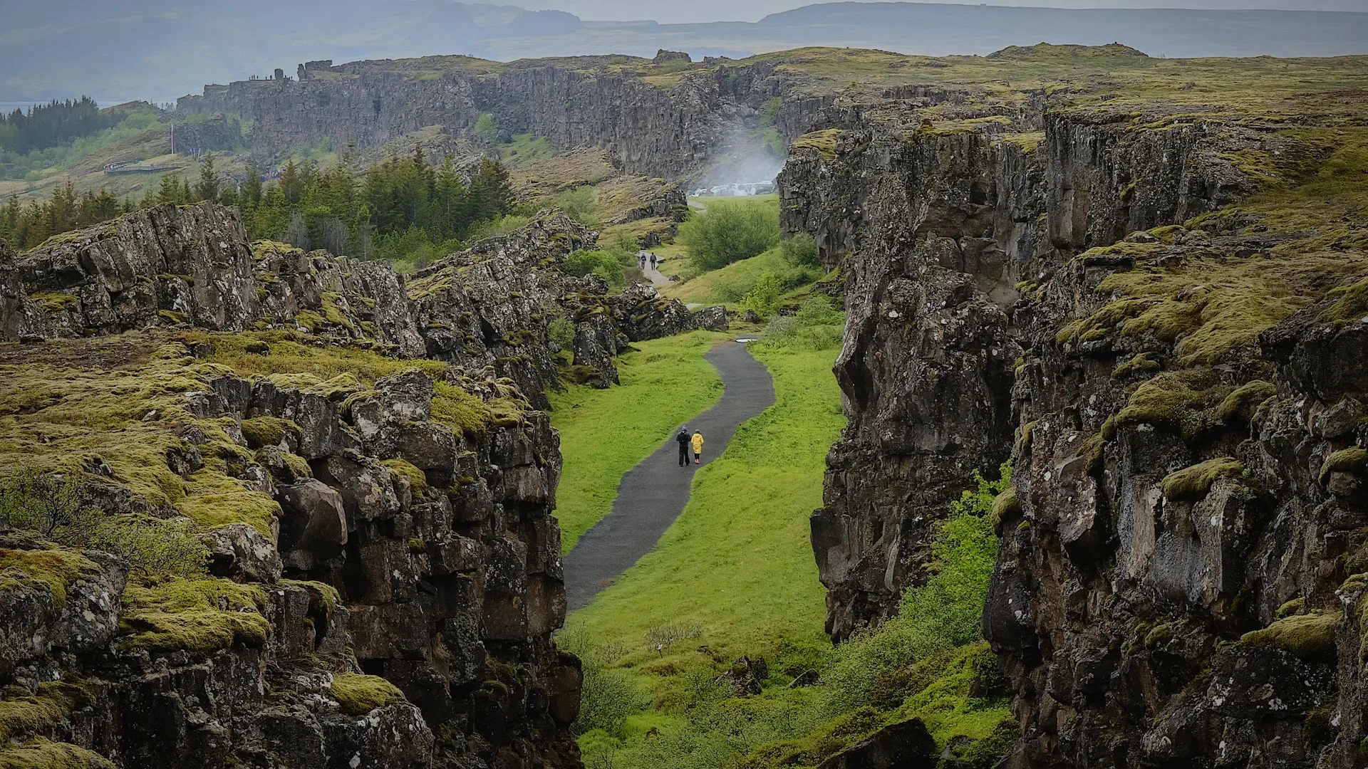
A UNESCO-listed rift valley where the Mid-Atlantic Ridge surfaces, with Almannagja fissure, Oxararfoss, and the historic parliament site.
Þingvellir National Park is catalogued as a area and works as an itinerary stop in Heimdall. Coordinates are available for map routing and itinerary planning. Travel planners and operators can use the same entry across marketplace tours, pickup details, route planning, and client itineraries so the place stays consistent wherever it appears.
Planning notes
- Useful for itinerary stops, route pacing, photo planning, and local guiding notes.
- Access, safety, and timing should always be checked against current conditions before travel.
- Map coordinates are available, making the entry useful for routing and day-by-day trip maps.
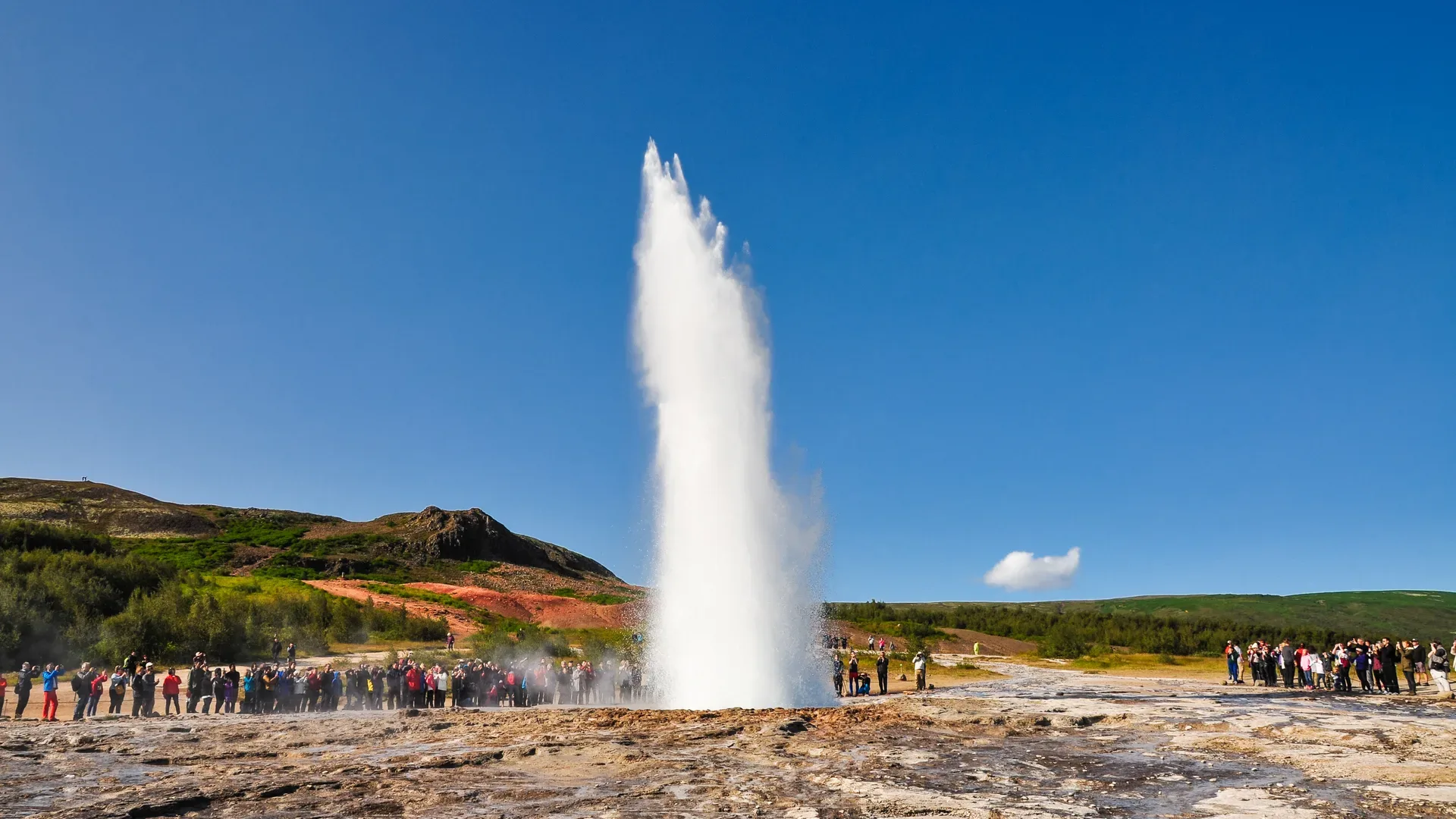
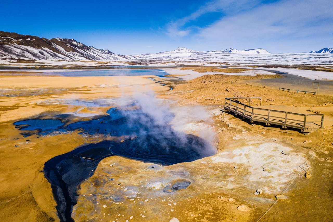
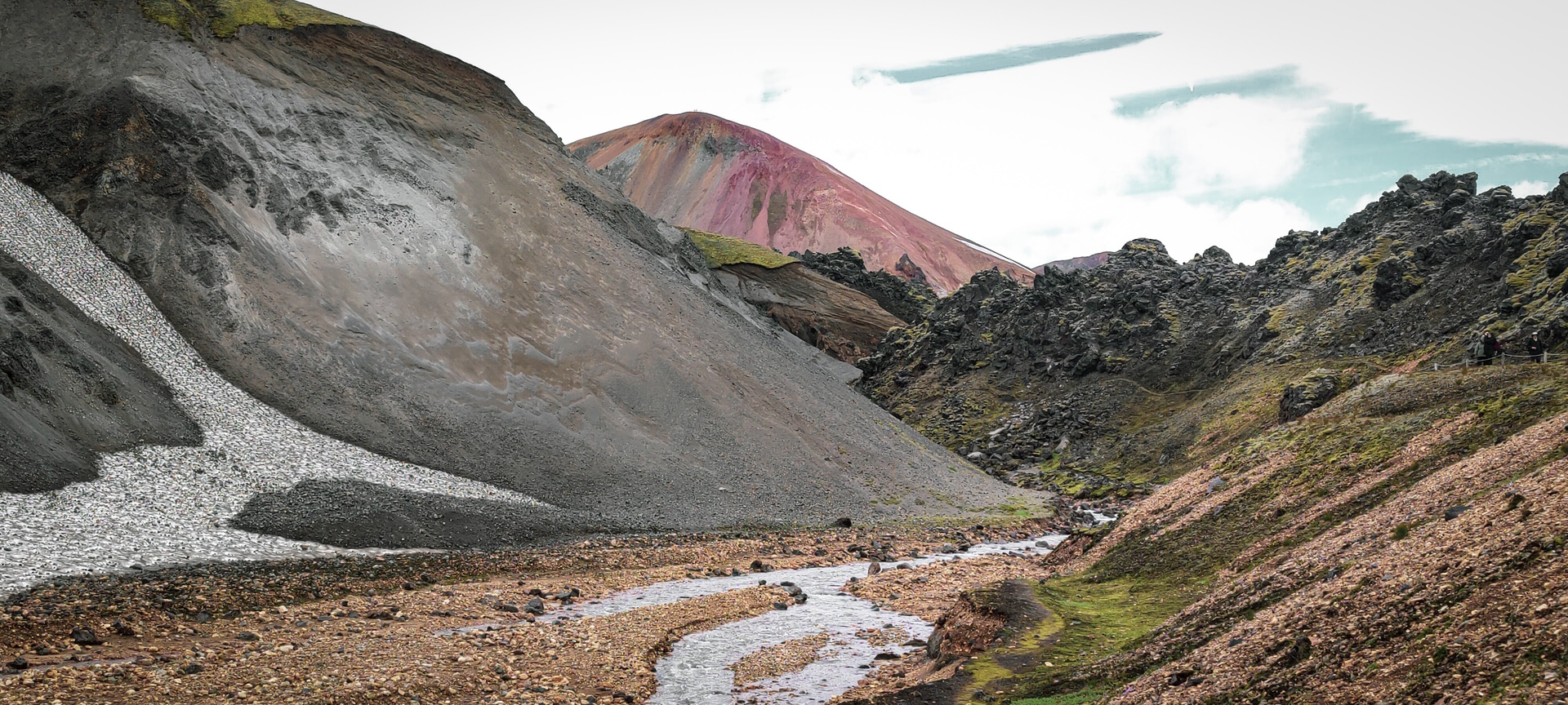
- Photos are available for client-facing tour pages and itinerary previews.