
Overview
About Laugavegur Trail
A cross-section of the highlands
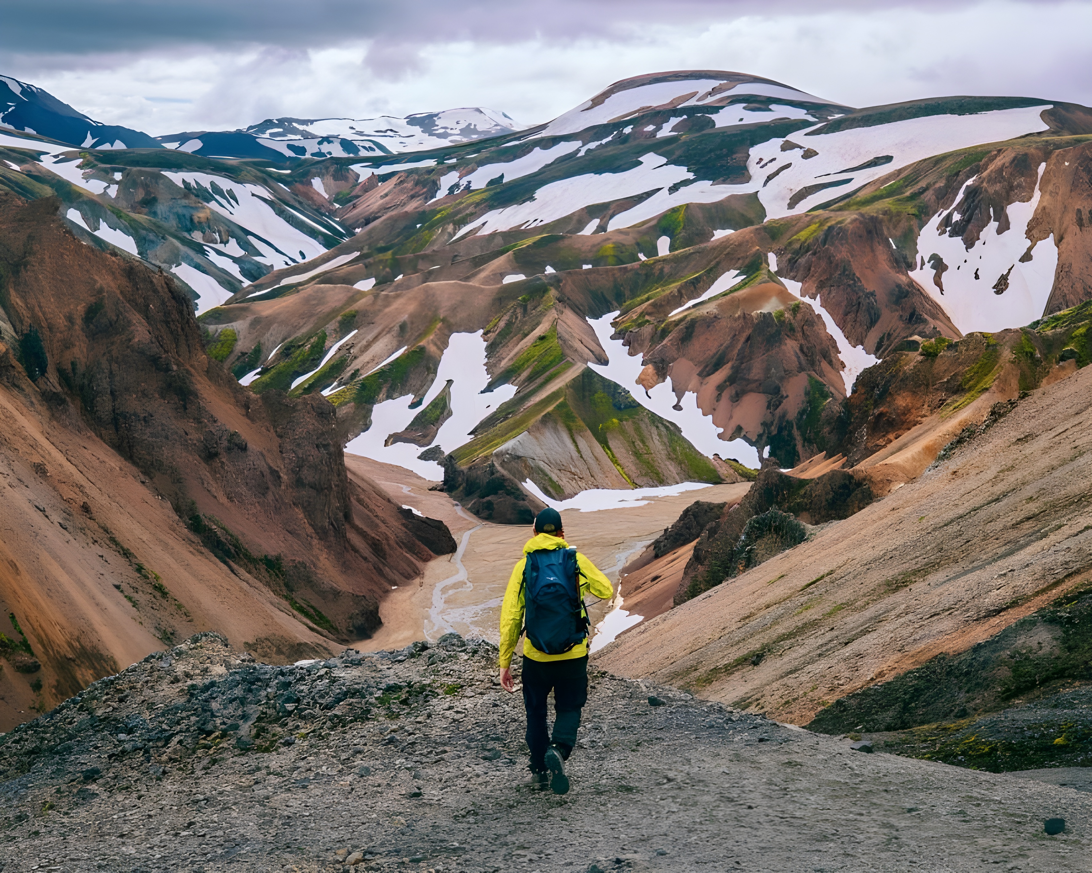
From Landmannalaugar's rhyolite mountains and geothermal ground, the route passes Hrafntinnusker, the lake Álftavatn and the country around Emstrur. Lava, dark sand plains and deeply cut river channels give way to increasingly vegetated ground towards Þórsmörk. The final approach includes the birch woodland of Hamraskógar, illustrating the contrast between exposed uplands and sheltered valleys.
A managed route through exposed terrain
The trail's huts and designated campsites concentrate overnight use to reduce pressure on the surrounding environment. Some rivers have bridges, while others require fording; rainfall can raise water levels quickly. Open sand plains offer little shelter from wind and blowing sand. These features make the route a mountain journey whose conditions must be assessed separately from its mapped length.
Article reviewed .