About this entry
Eldgjá Trail in the travel network.
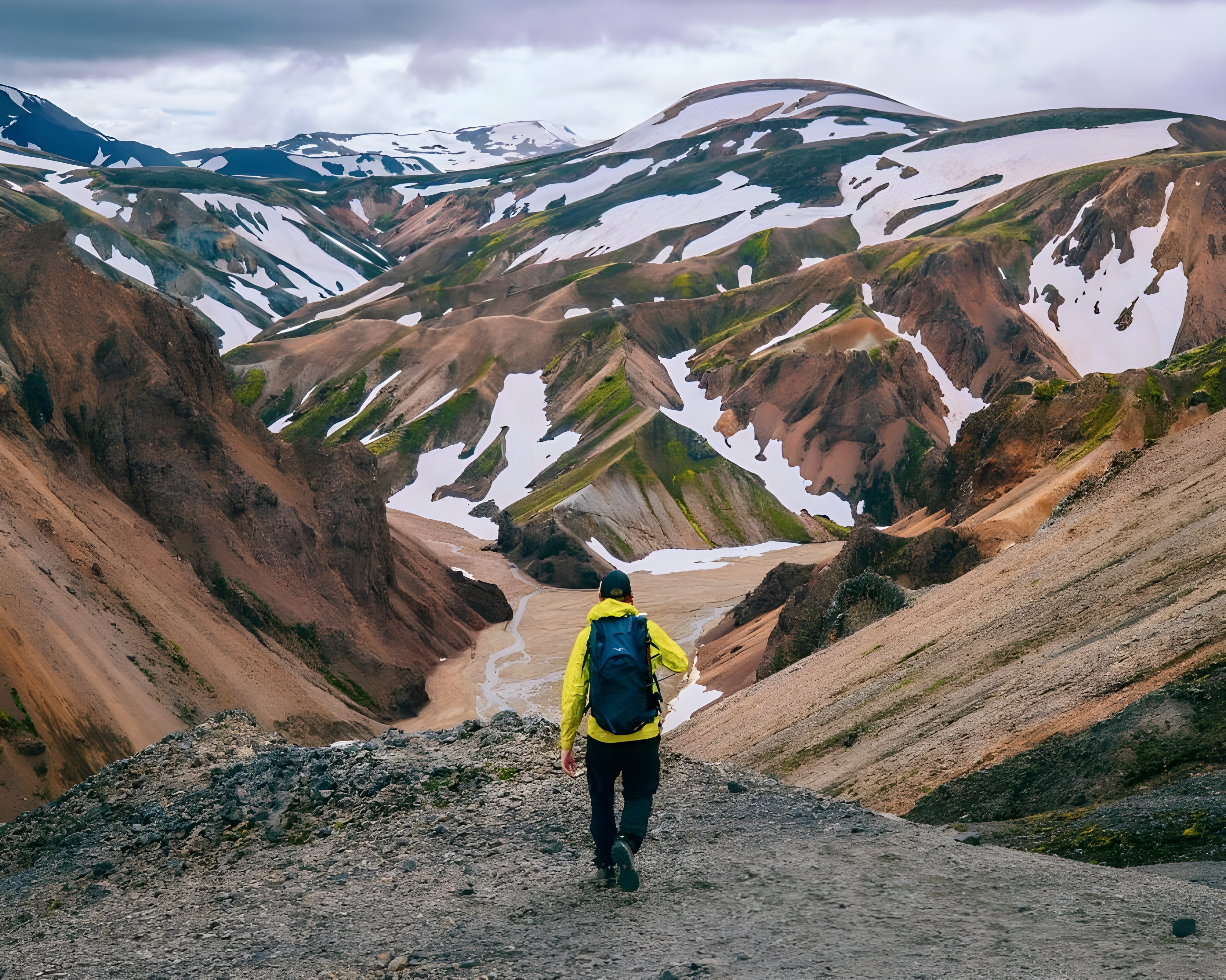
A remote track along the Eldgjá fissure canyon, threading volcanic ridges, black sand flats, and hidden falls between Landmannalaugar and the Skaftá area.
Eldgjá Trail is catalogued as a hiking trail and works as a route or hiking segment in Heimdall. Coordinates are available for map routing and itinerary planning. Travel planners and operators can use the same entry across marketplace tours, pickup details, route planning, and client itineraries so the place stays consistent wherever it appears.
Planning notes
- Useful for route planning, day-by-day pacing, hiking notes, and guide briefings.
- Trail conditions can change quickly with snow, wind, river levels, and seasonal closures.
- Map coordinates are available, making the entry useful for routing and day-by-day trip maps.