Overview
About Lakagigar Craters
A long eruptive fissure
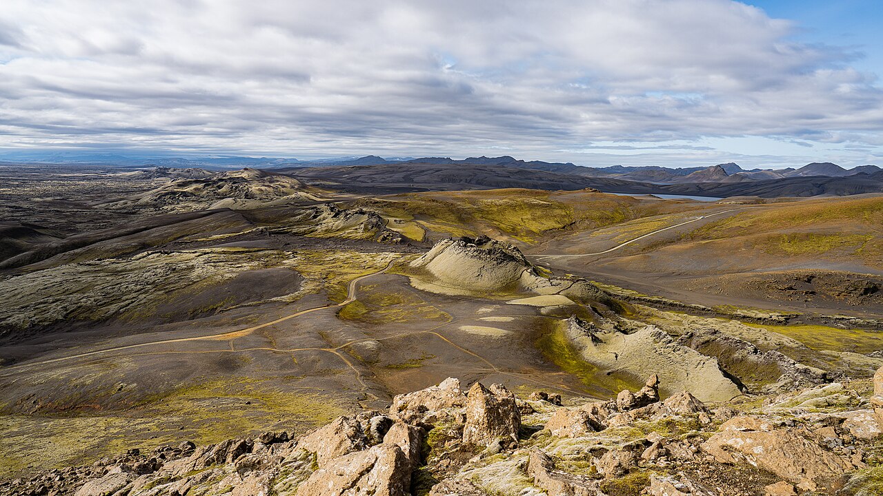
More than 130 craters extend along a chain over twenty-nine kilometres long. Lava travelled toward inhabited lowlands in two great tongues, now known as Eldhraun and Brunahraun, covering pastures and farms. The crater row and lava fields show that this was an extensive fissure eruption, with activity distributed across a long opening in the crust.
The mist hardships
Ash, sulphurous gases and volcanic haze spread beyond the lava's immediate path. Contaminated grazing and the loss of livestock contributed to famine and severe hardship in Iceland. The period is remembered as Móðuharðindin, the mist hardships. Atmospheric effects also reached beyond Iceland, connecting a highland eruption with environmental disruption across a much wider region.
Life on the lava
The damp climate and relatively young lava support extensive moss and lichen communities. Thick moss carpets can inhibit the establishment of other plants. Later deposits of ash or flood sediment may create new surfaces for colonisation, so vegetation development remains closely tied to geological disturbance.
Article reviewed .