About this entry
Stakkholtsgjá in the travel network.
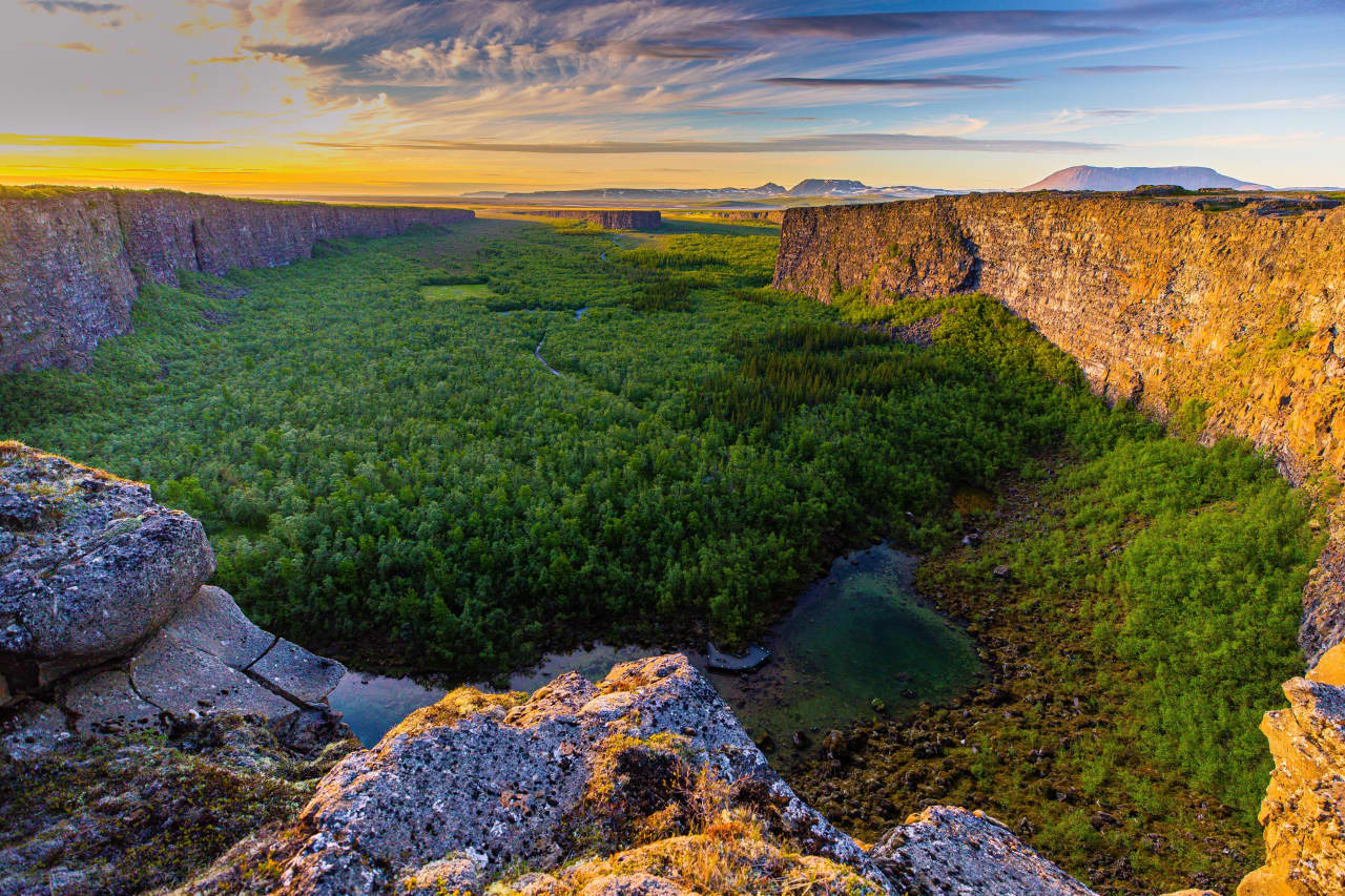
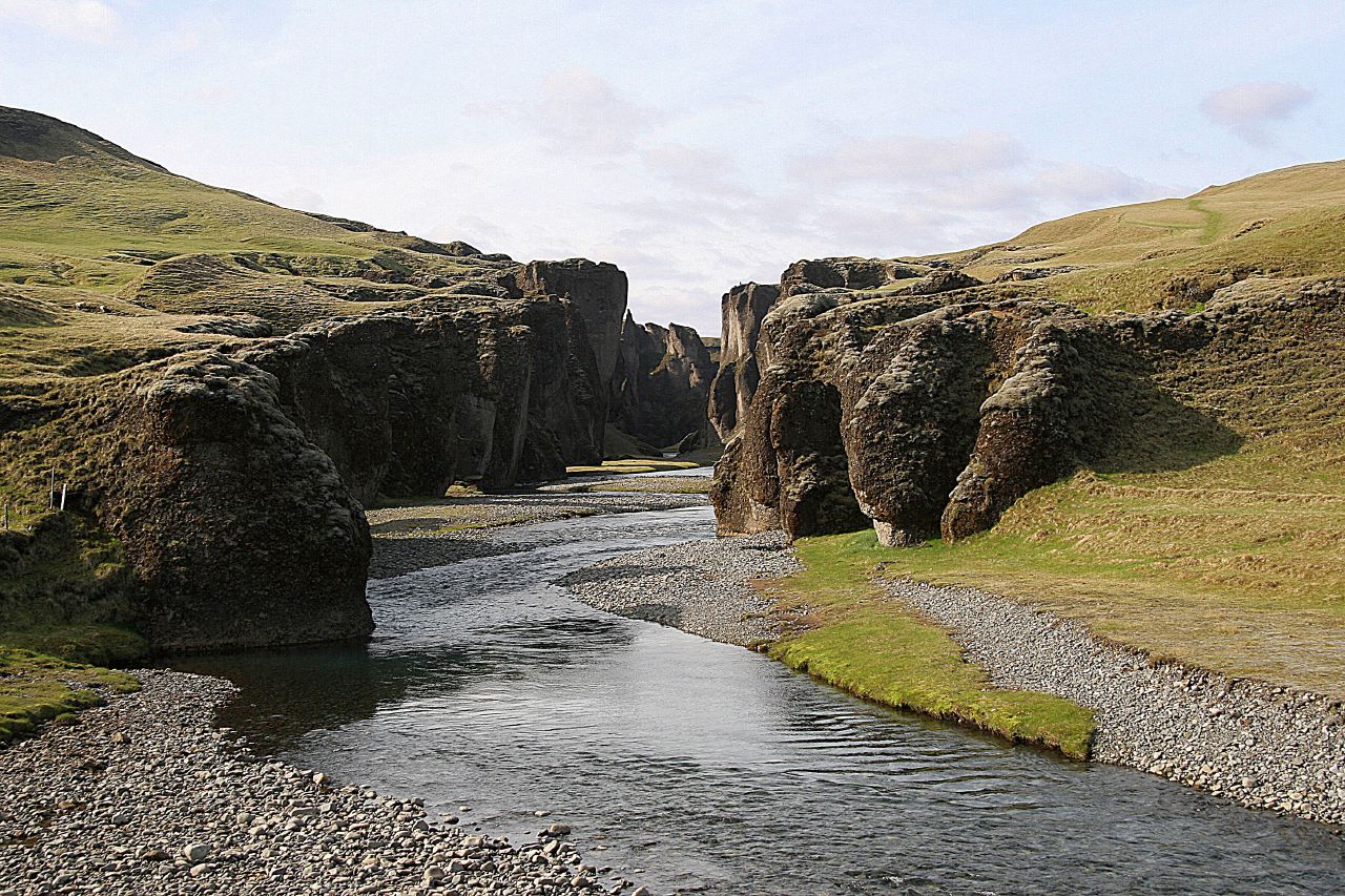
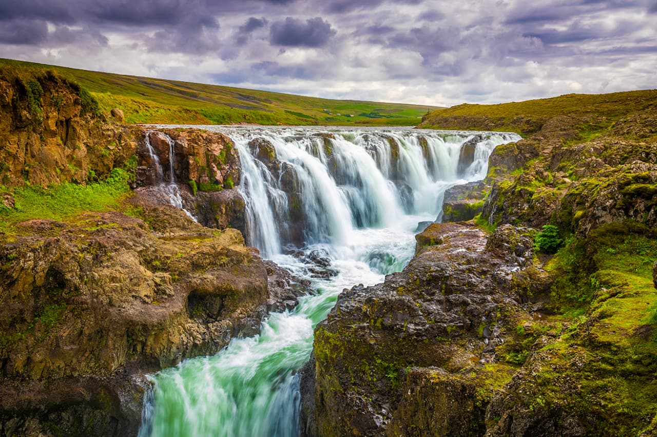
A deep, moss-covered canyon in Þórsmörk known for its winding river corridor, narrow rock walls, and hidden waterfall at the end. Stakkholtsgjá is one of the most atmospheric short walks in the area.
Stakkholtsgjá is catalogued as a canyon and works as an itinerary stop in Heimdall. Coordinates are available for map routing and itinerary planning. Travel planners and operators can use the same entry across marketplace tours, pickup details, route planning, and client itineraries so the place stays consistent wherever it appears.
Planning notes
- Useful for itinerary stops, route pacing, photo planning, and local guiding notes.
- Access, safety, and timing should always be checked against current conditions before travel.
- Map coordinates are available, making the entry useful for routing and day-by-day trip maps.