
Overview
About Fjadrargljufur
Carved after glacier retreat
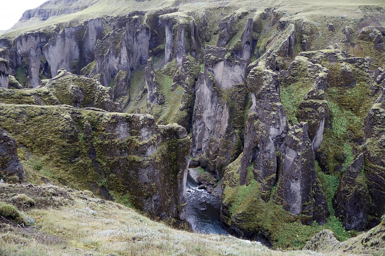
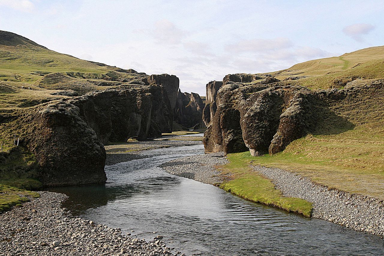
The canyon's development began near the end of the last Ice Age. A lake formed in front of a retreating glacier, held back by a rock barrier. Sediment-laden meltwater filled the lake, while its outflow cut into the barrier and underlying volcanic rock. Gravel terraces above the canyon preserve evidence of the former lake and its sediment deposits.
A continuing river process
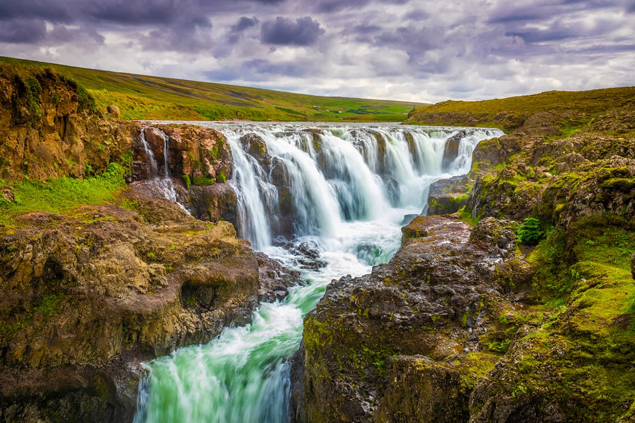
The Nature Conservation Agency describes a canyon approximately 1.5 kilometres long and up to about one hundred metres deep. Waterfalls occur in its inner reaches. Today's Fjaðrá carries much less water than the powerful meltwater rivers involved in the canyon's formation, but erosion and river-driven landscape change have not stopped.
Protecting the canyon and vegetation
Part of Fjaðrárgljúfur was protected as a natural monument in 2024. Its conservation covers geological formations, vegetation, the watercourse and waterfalls. Thin vegetation around the rim is vulnerable to trampling, particularly during wet weather and thaw. Marked paths and viewing platforms concentrate foot traffic away from the most sensitive ground.
Article reviewed .