About this entry
Merkurker in the travel network.
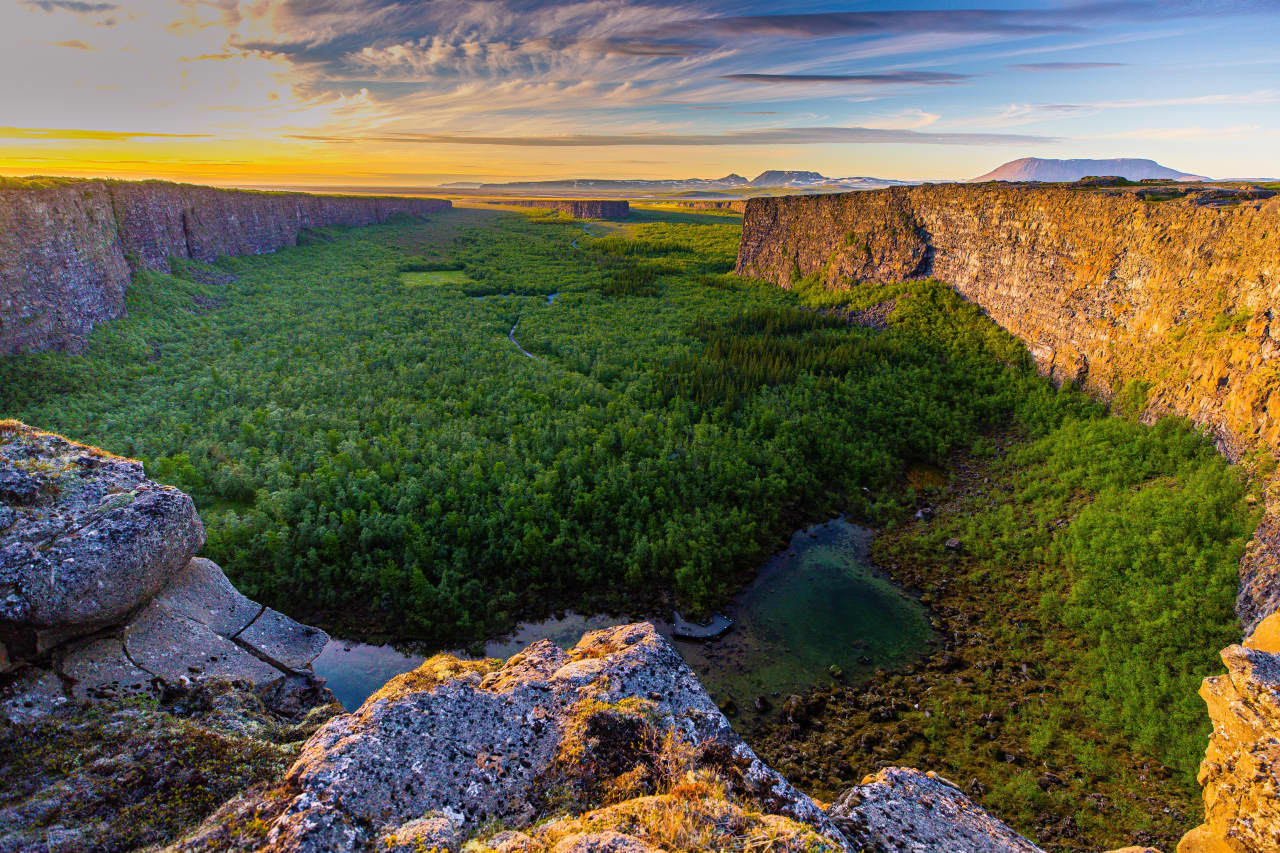
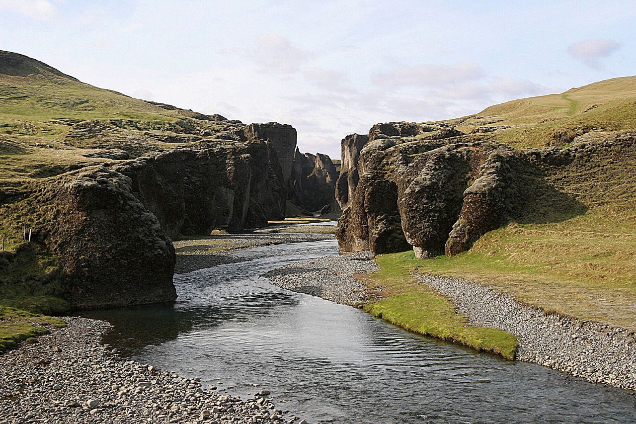
A narrow, dramatic ravine along the route to Þórsmörk, carved by glacial meltwater and framed by steep rock walls. Merkurker is a scenic stop often visited on super-jeep journeys into the valley.
Merkurker is catalogued as a canyon and works as an itinerary stop in Heimdall. Coordinates are available for map routing and itinerary planning. Travel planners and operators can use the same entry across marketplace tours, pickup details, route planning, and client itineraries so the place stays consistent wherever it appears.
Planning notes
- Useful for itinerary stops, route pacing, photo planning, and local guiding notes.
- Access, safety, and timing should always be checked against current conditions before travel.
- Map coordinates are available, making the entry useful for routing and day-by-day trip maps.